
Sarasota boaters face 30-knot gusts and offshore seas before weekend warm-up
Temperatures will exceed seasonal averages by several degrees Thursday through Saturday while a weak front brings rain chances to 40% by Sunday.
By Zoe Ruiz ·
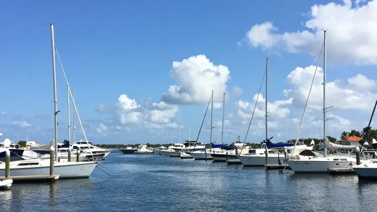
Northeast winds are driving coastal operations in Sarasota and Bradenton as a Small Craft Advisory remains in effect today. The advisory calls for sustained winds of 20 to 25 knots, with gusts reaching 30 knots and offshore seas ranging from 3 to 5 feet, occasionally peaking at 6 feet.
Current conditions include temperatures in the mid-80s, which is slightly warmer than the historical average for late October. Coastal areas report partly to mostly sunny skies with a 20% to 30% chance of showers, while inland regions face a 60% probability of afternoon rain. Wind gusts on land may approach 30 mph.
Weather patterns will shift toward warmer temperatures and lighter winds from Thursday through Saturday. Highs are expected to climb into the mid-80s near the beaches and reach the upper 80s inland, placing temperatures several degrees above normal. Rain chances will drop to approximately 20% along the coast and 30% inland, with most communities retaining ample sunshine.
A weak cold front approaches Florida on Sunday, increasing the likelihood of showers and thunderstorms. Rain probabilities may reach 40% inland, though temperatures will remain warm despite increasing cloud cover. Forecasters do not indicate any widespread severe weather during this period.
Boating conditions are scheduled to improve gradually on Thursday and Friday, with offshore seas dropping to around 2 feet by Saturday. The tropics remain calm, and no tropical threat exists for the Suncoast during the next five days, although the hurricane season remains active through November 30.
Source: WWSB
More Business · Bad Service · Report a business · Got a Story?